Liaison douce nord est - sud ouest
Add to my favorites

Route opened

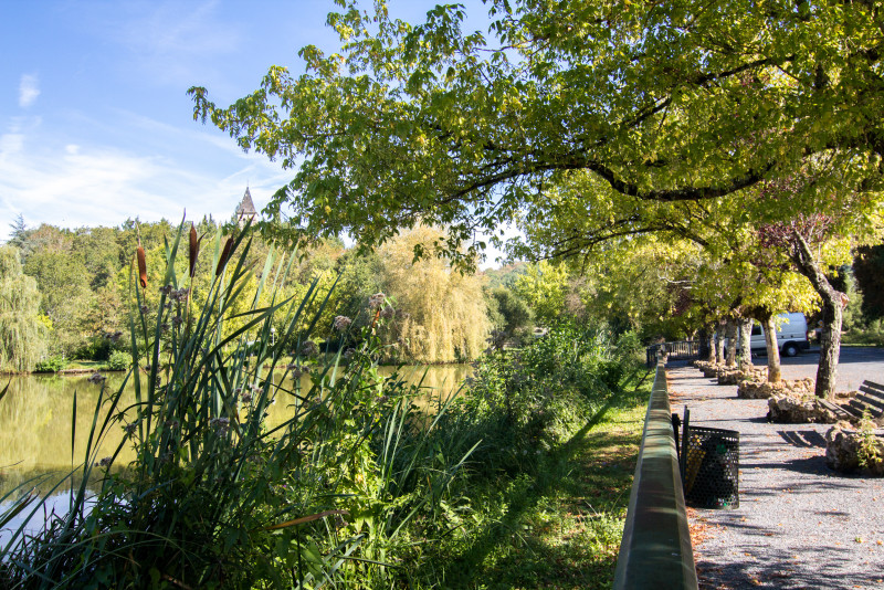
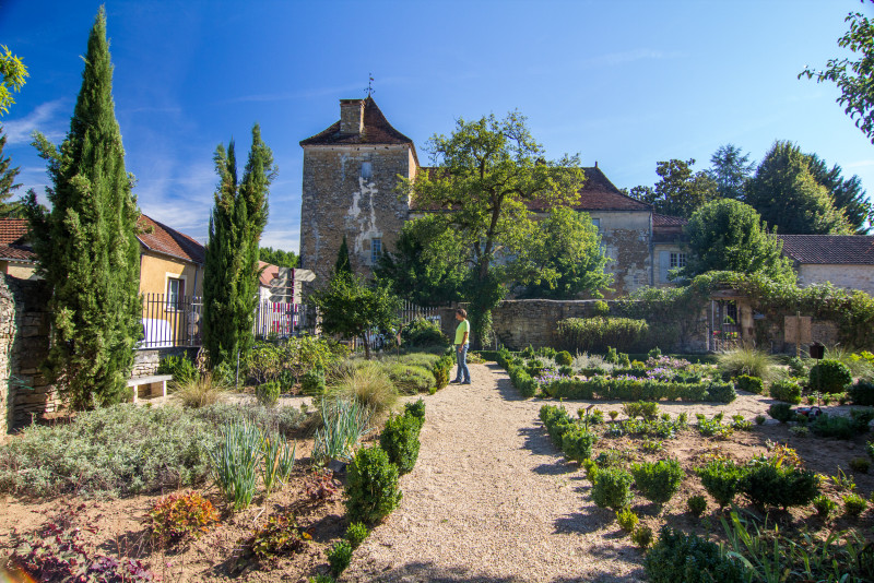
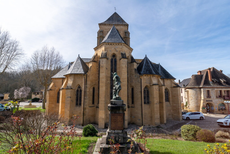
Itinéraire empruntant principalement de petites routes à faible circulation, permettant de traverser la destination du nord-est au sud-ouest (ou inversement) en évitant les grands axes routiers. À noter : une portion de chemin non revêtue d'environ 1 km est présente au niveau de l'Abbaye Nouvelle. Pour l'éviter, il est possible de suivre la D673.
The characteristics of the route.

LE VIGAN-EN-QUERCY (46)
- Distance 43.11 km
- Elevation gain 650 m
- Elevation lost 690 m
- Min. elevation 135 m
- Max. elevation. 286 m
- Duration (depending on pace) 03:00:00
- Marking Parcours non balisé
Report a problem
PDF - Liaison douce nord est - sud ouest Check this route in your mobile
Download the Quercy Outdoor mobile app
Get all the routes on your smartphone with the Quercy Outdoor app. You'll find a host of functions:
- Take advantage of detailed IGN maps
- Download data for consultation even when you're not connected to the network
- Geolocate yourself at any time on the route and altimeter profile
- Activate the off-track alarm to be alerted if you stray from the itinerary
- Find nearby services
- Share your experience (add a report, share your lap time)...

Add your time and share your feelings


Follow us on
the digital trails
the digital trails


![]()
Infos & contacts
Tourist Office
Pays de Gourdon, Entre Lot & Dordogne
info@tourisme-gourdon.com
+33(0)5 65 27 52 50
Photo copyright
 Quercy Outdoor - Parcours - Liaison douce nord est - sud ouest
Hello, world! This is a toast message.
Quercy Outdoor - Parcours - Liaison douce nord est - sud ouest
Hello, world! This is a toast message.
Quercy Outdoor - Parcours - Liaison douce nord est - sud ouest
Hello, world! This is a toast message.


OK
Annuler