Chemin des Pechs
Add to my favorites

Route opened
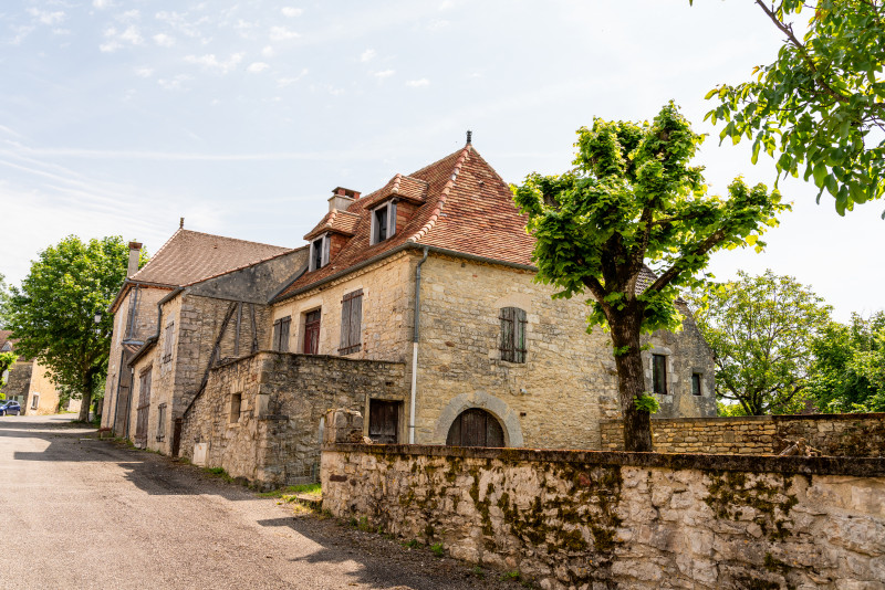
Depuis Soucirac, cette boucle vous emmène à travers une mosaïque de hameaux où la pierre se mêle au végétal.
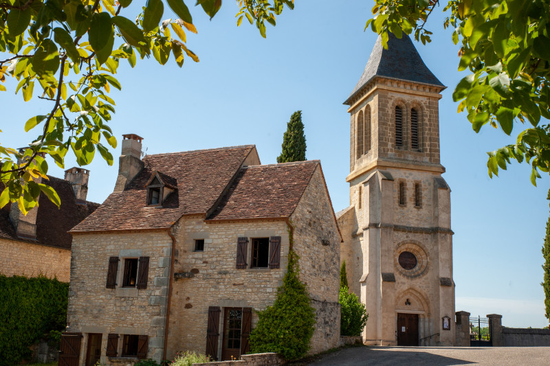
En chemin, découvrez l’église Notre-Dame-de-l ’Assomption, discrète mais remarquable, et sa fontaine Saint-Pantaléon, autrefois réputée pour ses vertus. Une immersion dans la campagne lotoise, entre patrimoine discret et charme rural.
The characteristics of the route.

SOUCIRAC (46)
- Distance 8.11 km
- Elevation gain 210 m
- Elevation lost 210 m
- Min. elevation 288 m
- Max. elevation. 428 m
- Duration (depending on pace) 02:30:00
- Suivre le balisage

Report a problem
PDF - Chemin des Pechs Check this route in your mobile
Download the Quercy Outdoor mobile app
Get all the routes on your smartphone with the Quercy Outdoor app. You'll find a host of functions:
- Take advantage of detailed IGN maps
- Download data for consultation even when you're not connected to the network
- Geolocate yourself at any time on the route and altimeter profile
- Activate the off-track alarm to be alerted if you stray from the itinerary
- Find nearby services
- Share your experience (add a report, share your lap time)...

Add your time and share your feelings


Follow us on
the digital trails
the digital trails


![]()
Infos & contacts
Tourist Office
Pays de Gourdon, Entre Lot & Dordogne
info@tourisme-gourdon.com
+33(0)5 65 27 52 50
Photo copyright
 Quercy Outdoor - Parcours - Chemin des Pechs
Hello, world! This is a toast message.
Quercy Outdoor - Parcours - Chemin des Pechs
Hello, world! This is a toast message.
Quercy Outdoor - Parcours - Chemin des Pechs
Hello, world! This is a toast message.


OK
Annuler