Circuit n°1 - Causse Toujours
Add to my favorites

Route opened

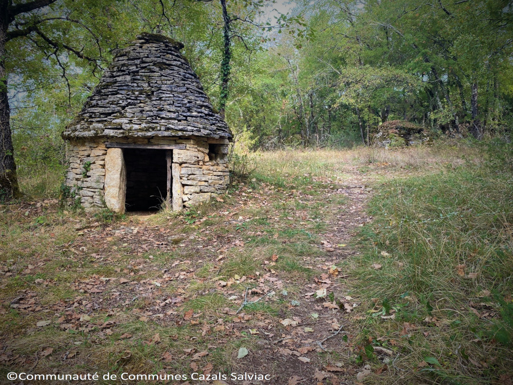
Beautiful hiking trail to discover the "Bouriane". On your way : cazelles, caves, beautiful views, dolmen and others secrets places.
The characteristics of the route.

Salviac (46)
- Distance 13.7 km
- Elevation gain 430 m
- Elevation lost 430 m
- Min. elevation 147 m
- Max. elevation. 266 m
- Duration (depending on pace) 4h00
- Marking yellow
Report a problem 3 comment
PDF - Causse Toujours The last times
Viod
finished in 03:21:26
The 2024/07/22
En savoir plus
AnoukK
finished in 03:00:00
The 2023/10/22
En savoir plus
Bragon
finished in 05:10:00
The 2023/07/23
En savoir plus
Bragon
The 2023/07/27
En savoir plus
Voir tous les chronos
Services nearby

Camping de Salviac
SALVIAC

Restaurant L'Auberge du Quercy "Chez les Filles"
SALVIAC

Le Hameau des Cardenals : Gariotte
SALVIAC

Le Hameau des Cardenals : La Chenaie
SALVIAC

Le Hameau des Cardenals : Quercynoise
SALVIAC
OK
Annuler


