Trail n°4 - Panorama trail
Add to my favorites

Route opened
Start in front of the city hall of Marminiac.
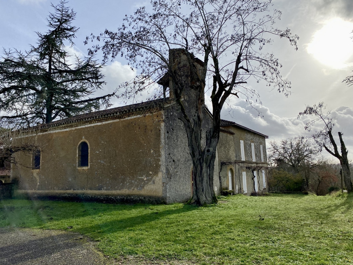
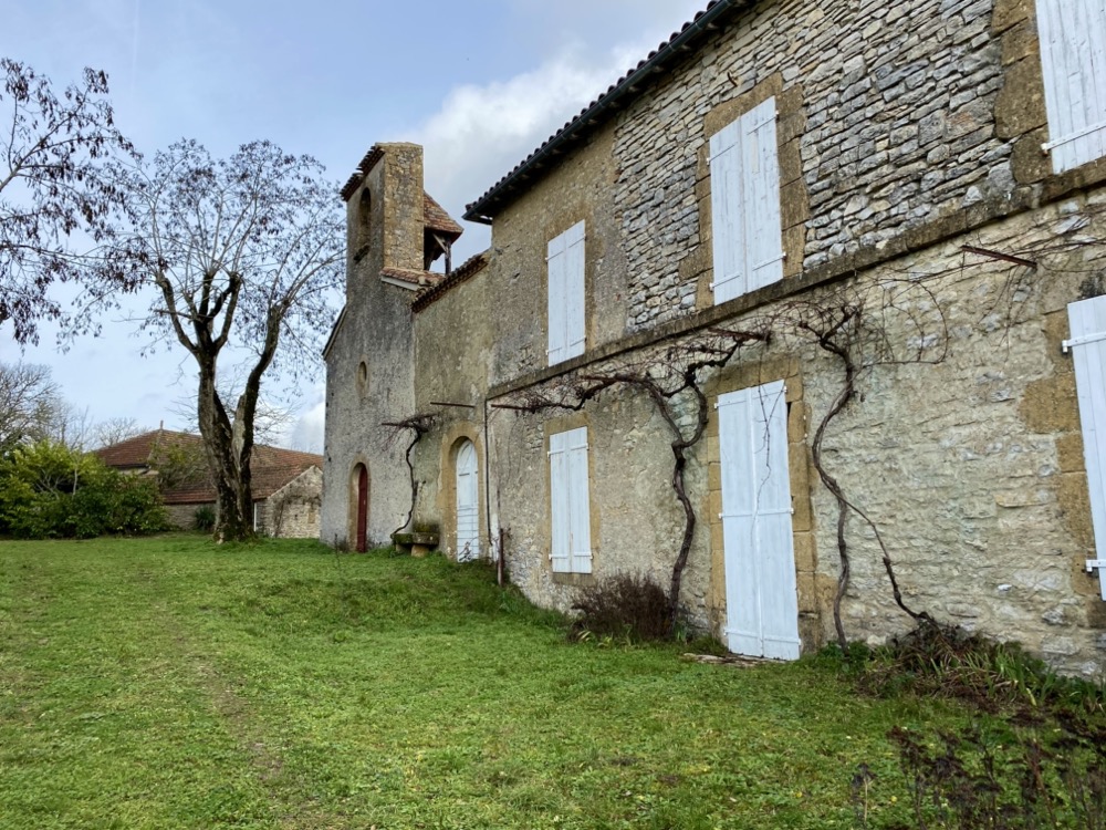
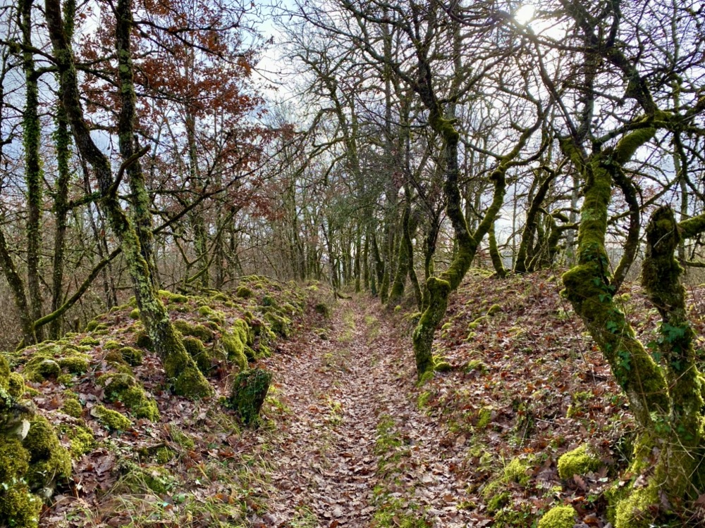
On forest paths or between dry stone walls, navigate through the countryside landscapes of Quercy. The difficulty of the route awaits you at kilometer 1.5. If the motivation is there, you can do a Trail Challenge on the uphill section! Few kilometers after, take a contemplative break in Boissièrette: a rejuvenating atmosphere will make you set off again on beautiful single-track trails to complete the loop.
The characteristics of the route.

Marminiac (46)
- Distance 12.6 km
- Elevation gain 330 m
- Elevation lost 330 m
- Min. elevation 196 m
- Max. elevation. 331 m
- Duration (depending on pace) 1h20 à 2h40
- Marking Trail n°4 blue
Report a problem Add a comment
Fiche PDF - Trail n°4 nbehierdevigne
finished in 01:30:00
The 2023/07/10
En savoir plus
Bastien-team-ultraventures
finished in 01:06:57
The 2022/09/30
En savoir plus
Ajouter votre chrono et partager vos sensations
2022/09/30 01:06:57
Bastien-team-ultraventures
Bastien-team-ultraventures
Superbe parcours avec de belles vues et quelques côtes qui picotent...
Services nearby

Restaurant Aux 4 Saisons
MARMINIAC

Les Hameaux de Pomette
CAZALS
Gîte d'Étape La Grange Cary
CAZALS

Balade Autrement - VTTAE
Cazals
Petit Casino
Cazals


Follow us on
the digital trails
the digital trails


![]()


OK
Annuler